Järve Health Trail: Pine Forest Between Rails and Road
59.4° N 24.7° E JÄRVE TERVISERADA 2025 No. 10 / 17
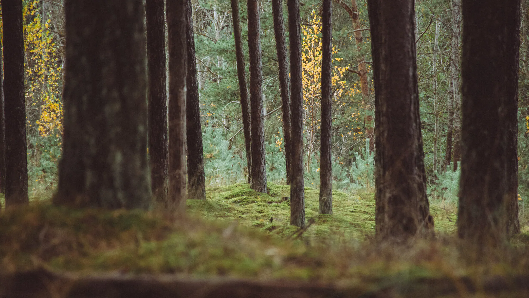
A freight wagon struck a coupling somewhere beyond the pines, then the forest closed over the sound. Underfoot, late-winter snow had collapsed into grey islands between wet needles. The air smelled of bark and thawing sand. Järve is no remote woodland: Pärnu maantee, the railway and Järvevana tee press against it from three sides. Yet twenty metres inside the trees, the traffic became a low mechanical tide.
The official Järve health trail runs for 2.3 kilometres through pine forest between Pärnu maantee and Ülemiste Lake; a 1.5 km circuit is also marked. Runners, walkers, cyclists and winter skiers share it. For a photographer, the city’s constant presence is the point.
Reading the forest in narrow layers
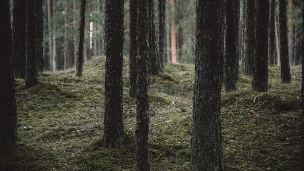
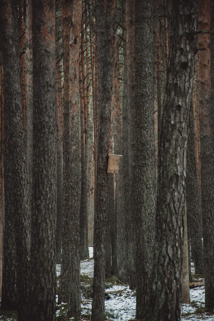
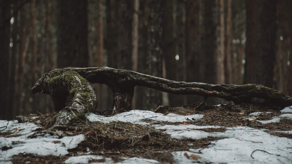
The pines grow close enough to turn a wide lens into clutter. I had better results between 70 and 100 mm, placing one dark trunk near the edge and using the next rows as progressively lighter planes. Patchy snow reflected a little light into the bark without whitening the whole frame. Meter for the orange side of a trunk, not the brightest snow, and let the deepest gaps remain black.
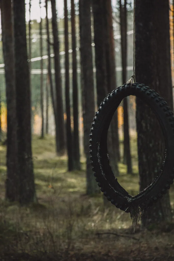
One object stopped me completely: a worn mountain-bike tyre hanging from a pine by a short rope, its lower edge frayed into black threads. It looked like an improvised exercise station, a swing missing its seat, or simply something the forest had not yet digested. I photographed it against warm evening light. The picture says more about Järve than an empty path would—urban use, pine forest and a small unanswered question in one frame.
Sand beneath a planted forest
These trees stand on the sandy terrain west of Ülemiste, part of a broader dune and sand-field landscape shaped after the last ice age. As ice retreated and water levels changed, waves and wind sorted loose sediment along the edge of the developing lake basin. The slight rises visible under the moss are not dramatic hills, but they are enough to drain quickly and favour Scots pine.
The forest itself is not untouched primeval woodland. The Estonian Encyclopaedia describes roughly 100 hectares of planted pine forest extending from the Järve district toward Ülemiste. Dead wood, moss and a denser understorey in places still provide urban habitat. A 2021 Tallinn bird survey recorded 25 breeding species in Järve forest; chaffinch, willow warbler and robin were the three most abundant.
A royal lake, a mill and a railway suburb
Järve takes its name from nearby Ülemiste Lake, although the water is mostly concealed by trees and its protected sanitary zone is not a public shoreline. The lake has carried several names. The Dictionary of Estonian Place Names records the Latin stagnum regis—“king’s lake”—in 1264. The modern Ülemiste name comes from the upper mill on the Härjapea River, documented by name in 1345.
Municipal planning history records pine forest here before the Livonian War and its destruction by Russian forces besieging Tallinn. The district visible beyond today’s tracks developed much later: Järve station, designed by Karl Burman, opened in 1923 on former Erbe summer-manor land and became the starting point for a railway-linked garden suburb. That history remains visually present. Turn toward the tracks and the frame fills with signals, power lines and the glass towers of the modern city.
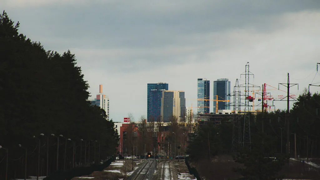
This meeting of infrastructure and vegetation also appears along Tallinn’s Astangu trail, though Astangu carries military remains while Järve is shaped by sport, rail and the protected water system. For a landscape where mist and dunes replace pylons, my Liivanõmme field note offers the coastal counterpart.
Working with movement and city light
Järve is busiest after work and on weekend mornings. Do not plant a tripod across the hard-surfaced loop; runners and bicycles arrive quickly and winter ski tracks need room. Instead, step completely off the active line where the ground permits and use a monopod or image stabilisation. A shutter around 1/250 second keeps a passing runner recognisable; 1/15–1/30 introduces movement while retaining the vertical rhythm of the trees.
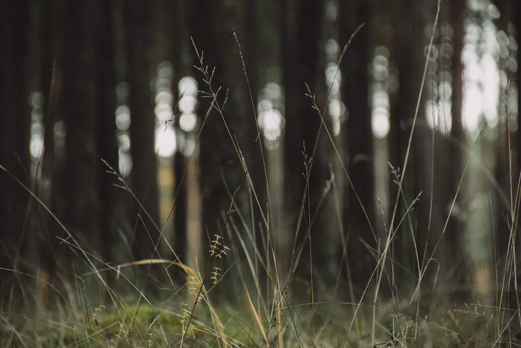
The trail is lit daily from 06:00 to 23:00. Blue hour therefore produces a useful colour contrast between cold ambient light and warm lamps, but the fixtures can clip abruptly in a dark exposure. Bracket one frame or expose for the lamps and lift the forest carefully. A short telephoto is more useful than a macro lens here: it can isolate bark and grasses, then turn toward the railway without changing lenses in wet snow.
Where to begin and what to carry
Start at Pärnu maantee 143a, coordinates 59.4014024, 24.7305707. Choose the 2.3 km loop for the full forest sequence or the marked 1.5 km option for one light session. The route has an outdoor gym and drinking water; in snow it becomes a ski trail. Check current conditions on the official Järve trail page.
Bring shoes with grip—the hard surface can glaze during a thaw—a windproof layer, a lens cloth and one 50–100 mm zoom. Begin on the forest side before sunset, make the railway view while there is still sky detail, then return along the lit loop. Respect the fence and signs around Ülemiste’s drinking-water protection zone. The lake is the reason this landscape exists, but it is not the destination of the walk.
Curated Gallery
Explore high-resolution photographs from this trail: Tallinn Urban & Forest Trails →
Discussion
Thoughts on this story?
A quiet place for questions, experience and considered discussion.
Discussion guidelines
Stay relevant and constructive. No spam or harassment; links may be moderated.
Opening the discussion…