Astangu Photo Walk: Limestone, Ruins and Autumn Light
59.4° N 24.6° E ASTANGU TRAIL 2025 No. 11 / 17
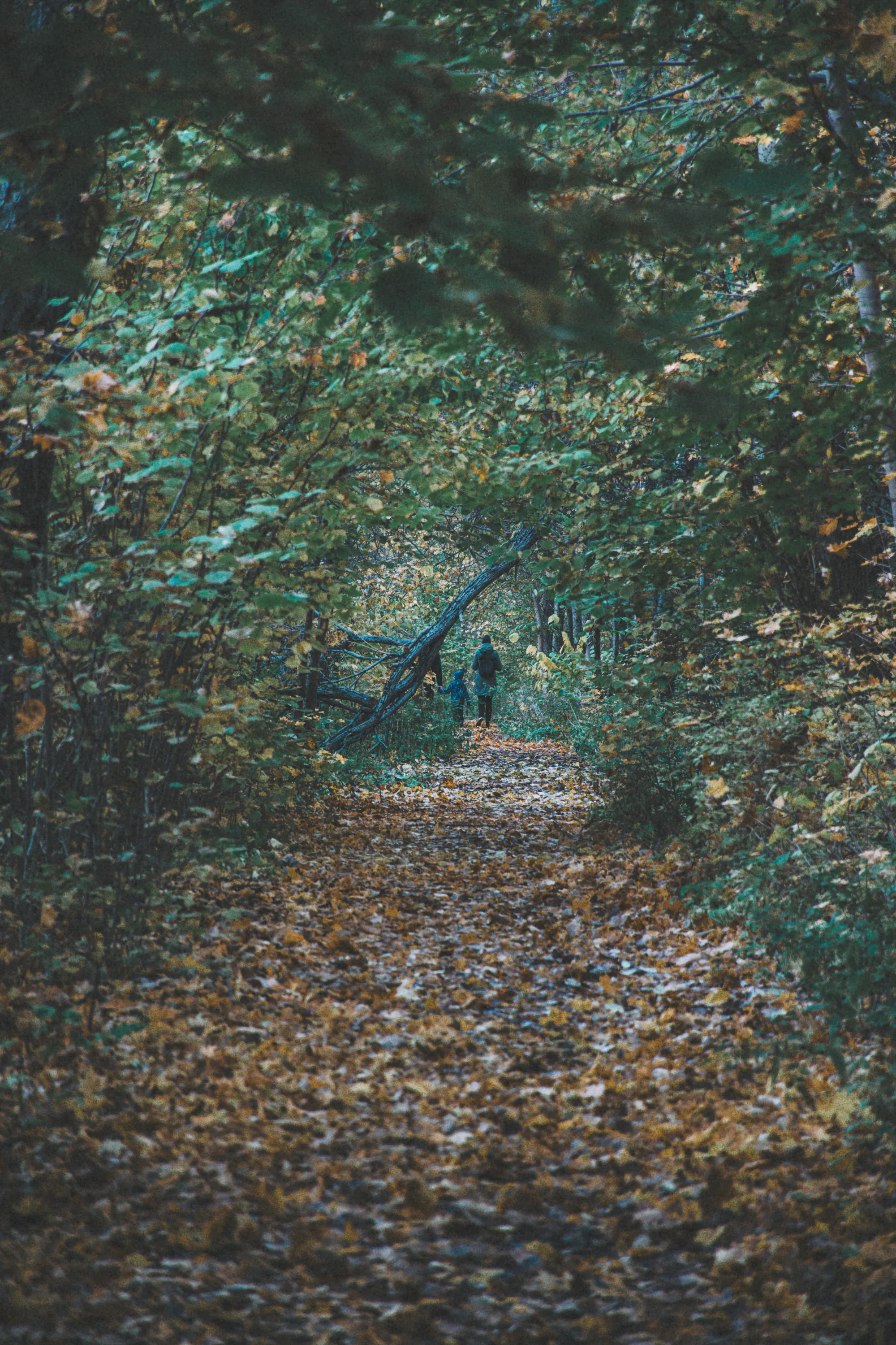
The first sound was not birdsong but wet leaves folding under boots. A child ahead of me ducked beneath a fallen trunk even though it hung comfortably above his woollen hat; the adult beside him copied the movement, and both laughed. Beyond them, the path narrowed into yellow foliage. The air smelt of damp limestone and birch bark, and the pale October sky was just bright enough to turn every wet leaf into a small reflector.
Astangu sits on Tallinn’s western edge, in Haabersti, but it does not behave like a designed city trail. There is no single official, waymarked loop. Broad tracks and smaller paths meet beneath the Mäeküla limestone escarpment, crossing woodland, former military ground and open grassland. That looseness rewards a camera—and demands care.
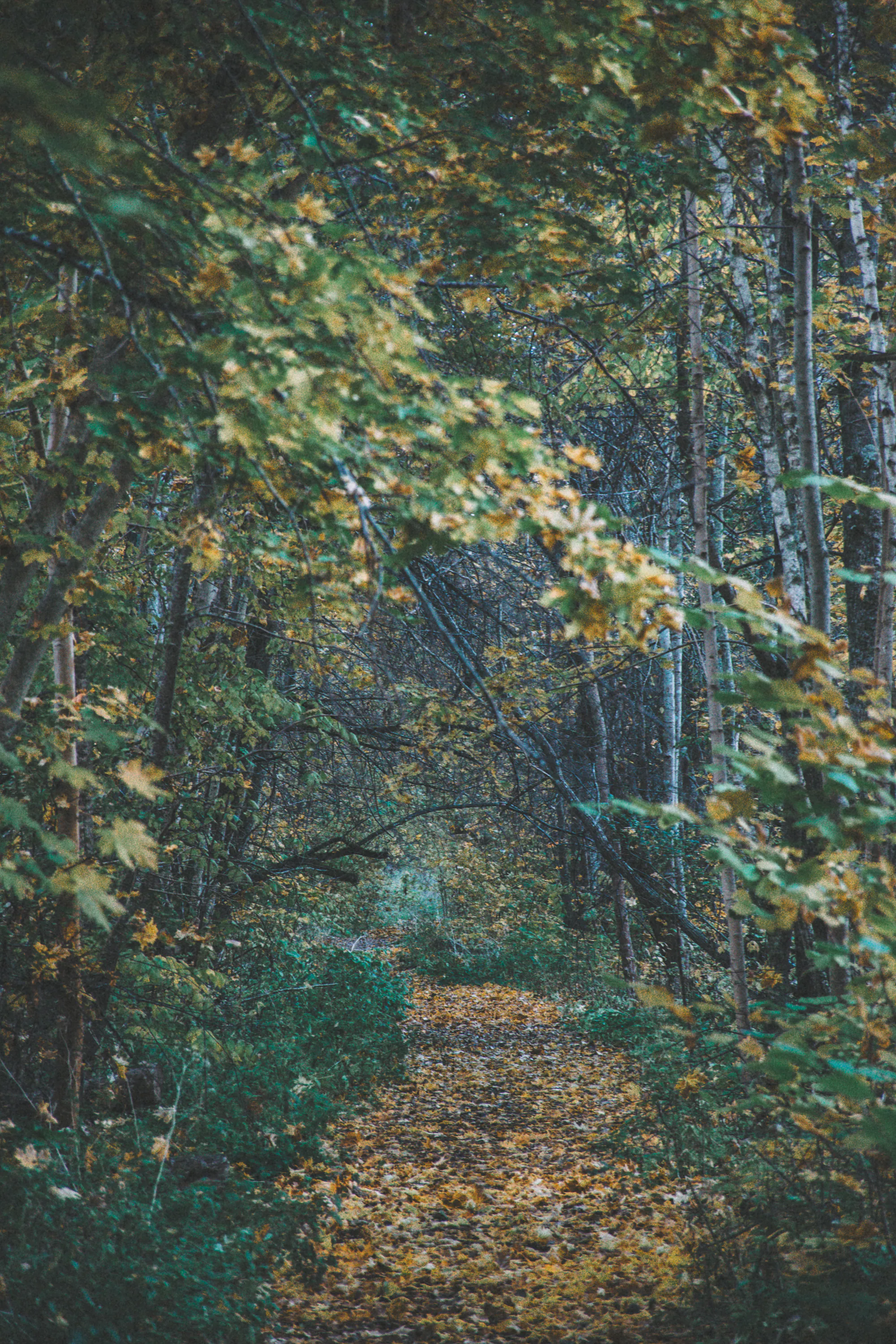
The path beneath the escarpment
The Mäeküla escarpment rises about 15 metres. Its limestone edge explains the place-name Astangu—an escarpment or terrace—and changes how the woodland feels. Pale stone interrupts the leaf litter, and roots grip thin soil above cracks. A few steps can move the camera from sheltered forest to exposed rock and a much larger sky.
In the trees I used the path as a line rather than making foliage the subject. A 50–85mm lens compresses the trunks and keeps pale sky out of frame. Meter for wet leaves, then wait for a walker to reach a clean gap. After rain, turn a polarising filter gently: removing every reflection also removes the sense of wetness.
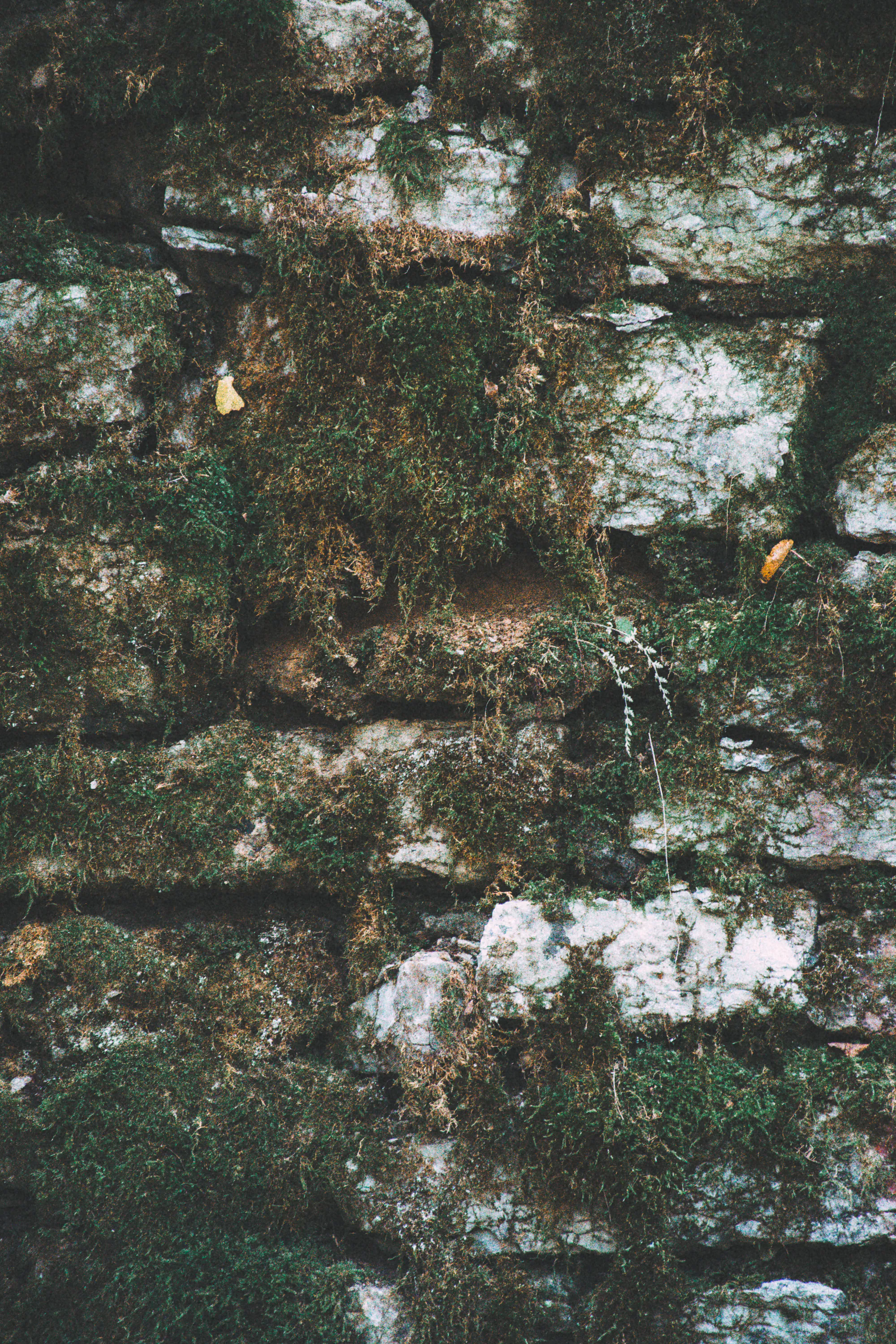
Stone that became habitat
Astangu’s rock is more than background. Shaded limestone fissures hold mosses and uncommon ferns, including the protected green and brown spleenworts. Tallinn created the 32.7-hectare Astangu protected habitat in 2021 to safeguard these plants and several bat species. The old underground spaces nearby now form Estonia’s largest known autumn swarming site for bats: thousands may pass through in a season, while hundreds remain to hibernate.
Close work is rewarding here. On mossed limestone, I looked for the meeting point between a pale broken edge and saturated green, using a longer focal length to stay on the path. Do not rearrange stones or clear vegetation. The apparent clutter is the ecology.
Warehouses cut into the cliff
In late 1916, plans for Peter the Great’s Naval Fortress were reduced and work began on six U-shaped tunnel warehouses in the limestone. Intended for mines, torpedoes and ammunition, they remained incomplete when imperial rule ended. After the Second World War, the Soviet navy adapted and used two tunnels.
These openings are protected heritage and wildlife habitat, not an invitation to urbex. Sections are unfinished or collapsed, and entering can disturb roosting bats. Organised visits are offered by advance arrangement in the warmer months; otherwise photograph portals only from an open, permitted path. No picture is worth waking an animal that must survive winter on a fixed energy reserve.
Grass, weather and the city edge
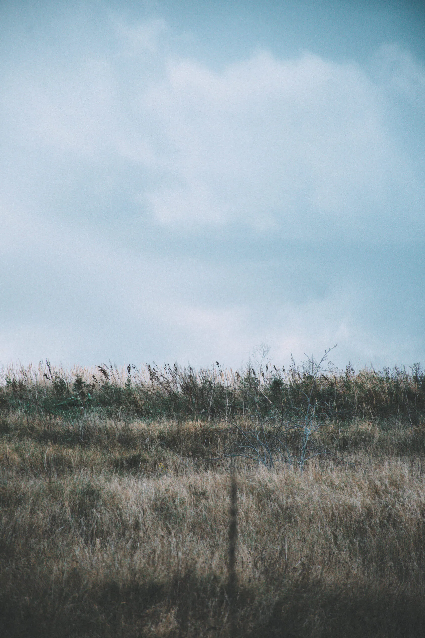
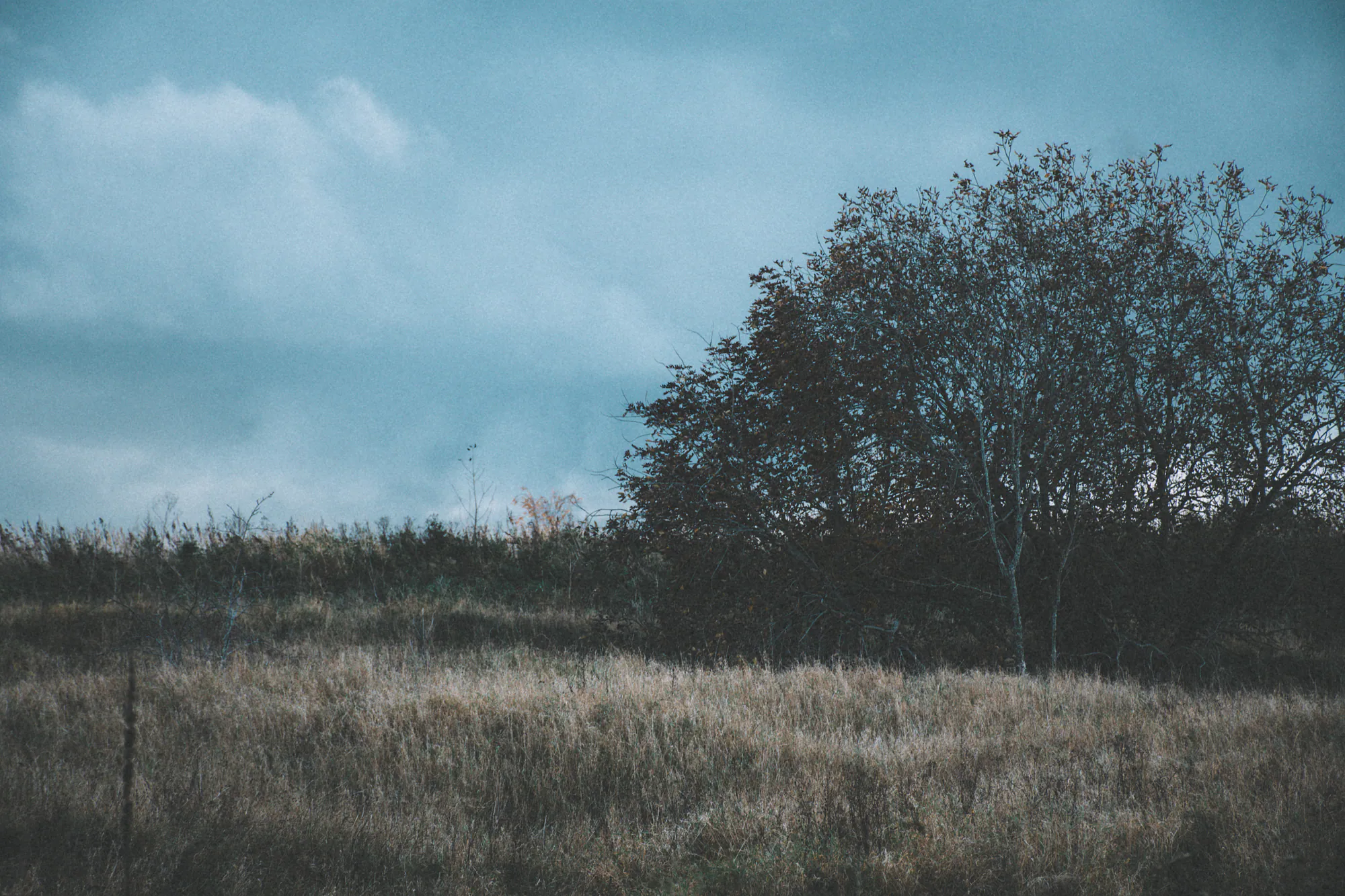
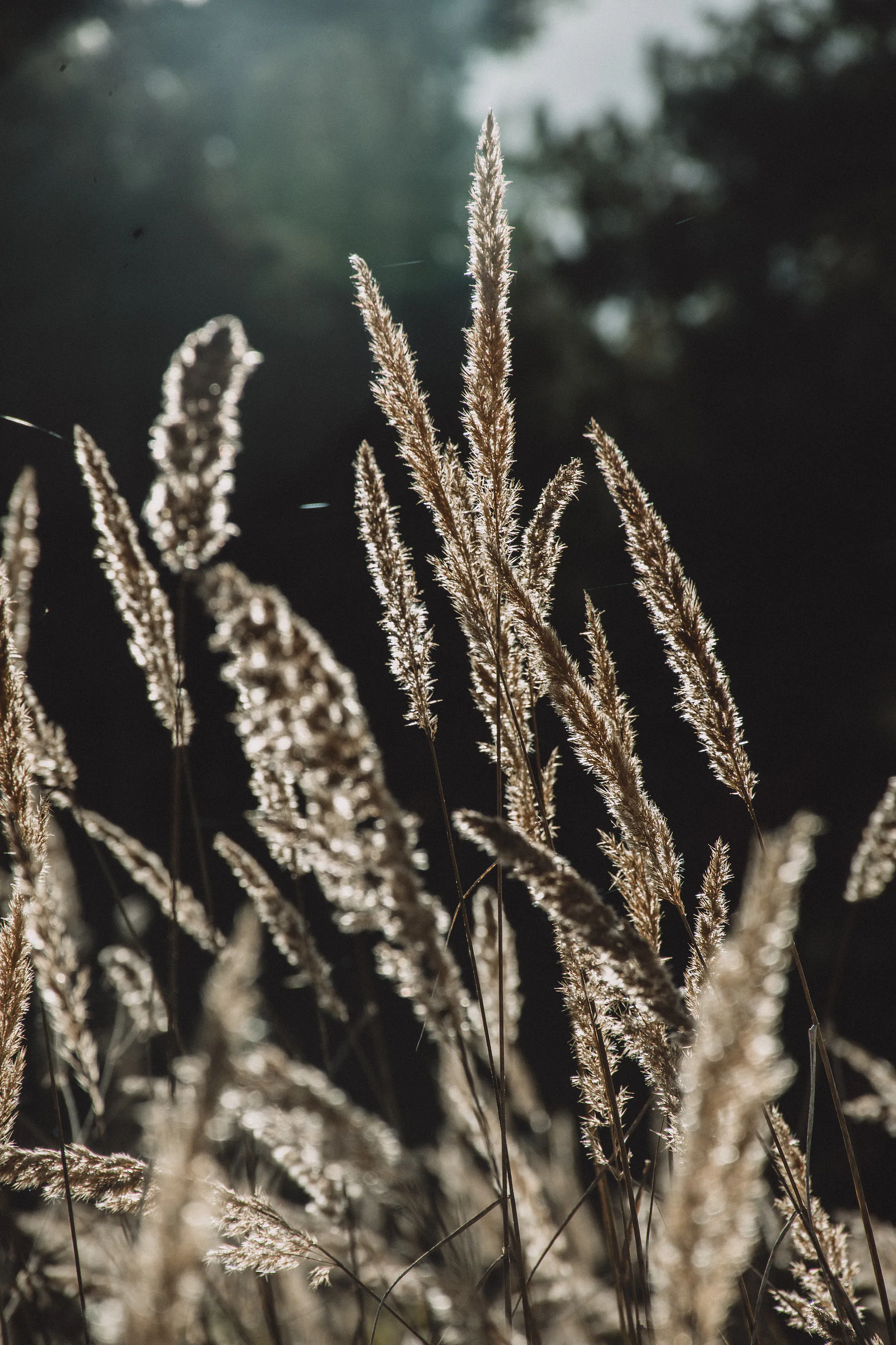
The trees eventually release their grip. Dry grasses and shrubs fill the foreground, apartment districts sit beyond sight or at the edge of hearing, and fast Baltic weather becomes the dominant element. Under a dark sky I exposed for the highlights in the grass and let the woodland fall almost black. A 70–200mm lens is useful here: it can isolate backlit seed heads without trampling into the meadow, or stack bands of grass, scrub and forest beneath one strip of cloud.
Spring adds another reason to slow down: frogs migrate across local roads toward breeding water, and Tallinn has periodically restricted night traffic to protect them. Autumn belongs more visibly to leaves and grasses, but also to the bats gathering out of sight. For a more structured forest run or walk, Järvevana follows a clearer city-edge rhythm; Liivanõmme shifts the camera toward wet ground, mist and softer horizons.
A careful route from Kadaka tee
Begin at the Astangu site used for guided visits, near Kadaka tee 88d. Follow the broad track toward the foot of the escarpment and make an out-and-back walk, choosing only open paths and returning by the same junctions; this avoids pretending that Astangu has one fixed circular route. Allow two to three hours for photography rather than chasing distance. Carry an offline map, water, a charged phone, a small lens cloth and waterproof boots with a firm sole. A 24–105mm zoom covers most woodland and rock studies; add a short telephoto if grass details matter to you.
Stay outside tunnel mouths and fenced or signed areas, keep dogs close, and avoid flash or prolonged noise near underground openings. In spring, watch the road surface for migrating amphibians after dark. In autumn and winter, leave every possible bat shelter undisturbed. The best finish is simple: retrace the broad track to Kadaka tee while there is still enough light to recognise the wet limestone underfoot.
Curated Gallery
Explore high-resolution photographs from this walk: Astangu Cliff & Forest Gallery →
Discussion
Thoughts on this story?
A quiet place for questions, experience and considered discussion.
Discussion guidelines
Stay relevant and constructive. No spam or harassment; links may be moderated.
Opening the discussion…