Valgejärve Photo Trail: White Water, Pines and Autumn Mist
59.1° N 24.2° E VALGEJÄRVE NATURE TRAIL 2025 No. 12 / 17
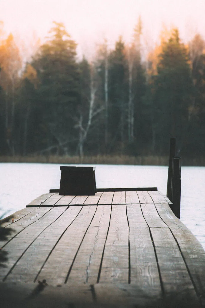
Mist had lowered the far shore to a pencil line. At Järveotsa, the boards of the small pier were dark with rain, and the lake gave back a flat silver light that made the yellow birches appear warmer than they were. I wiped the front element twice before admitting that the softness was not condensation on the glass. It belonged to the morning.
Valgejärve lies near Siimika in Saue Parish, southwest of Tallinn. The marked nature trail makes a 6.5-kilometre loop from the RMK Järveotsa campfire site, moving through conifer forest, wet ground and the protected landscape around Valgejärv. It is a compact route, but not a quick collection of lake views. The water often remains half-hidden until the path and the terrain decide to reveal it.
From Järveotsa into the forest
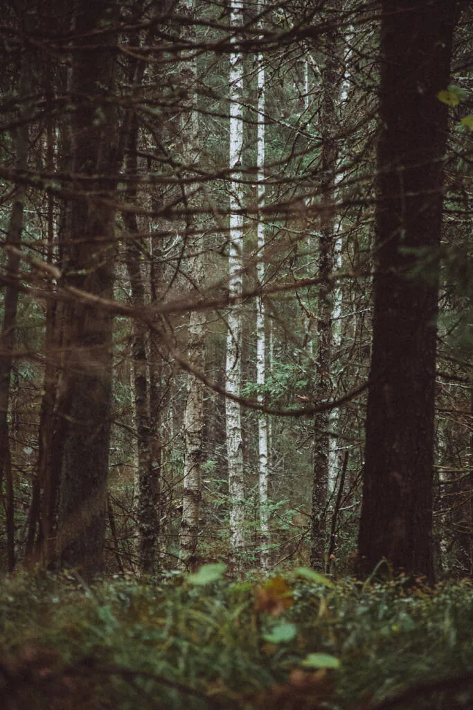
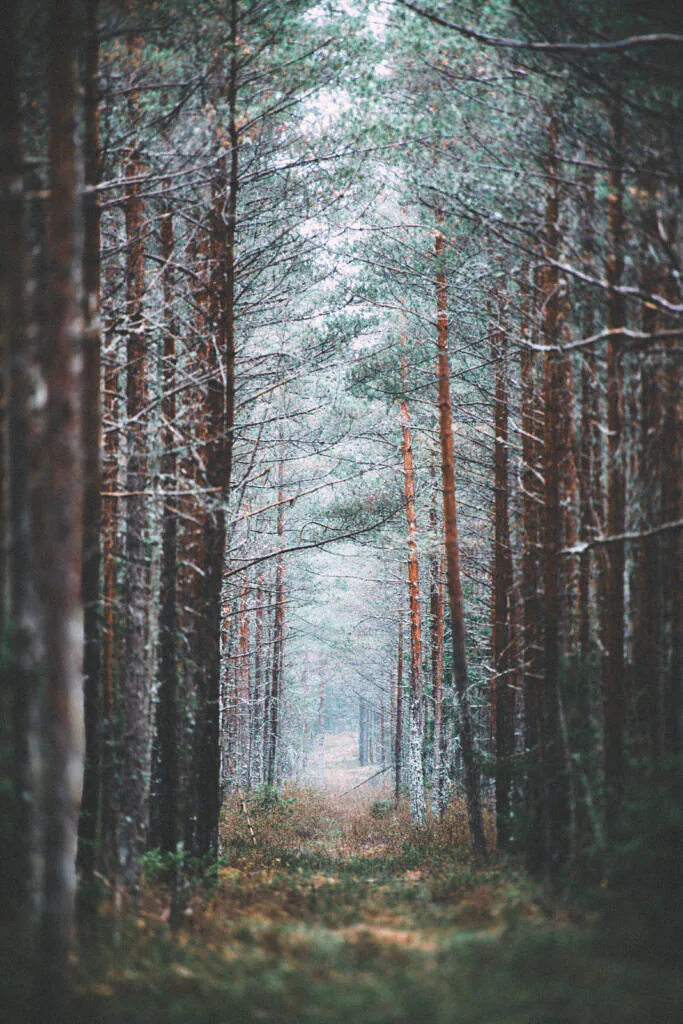
The route begins beside Järveotsa rather than Valgejärv itself. That distinction is useful: the first lake establishes the human scale of the place with a campfire site, swimming access and wooden pier, while the path soon closes into spruce, pine and birch. On a damp autumn day the darker conifers swallow contrast. White birch trunks become the markers.
A 50–85mm lens suits this section better than an ultra-wide. Stand back and use the straight trunks to build a narrow frame around one pale birch or a brighter opening. Expose for bark, not sky; otherwise the forest floor collapses into a featureless block. I kept the aperture near f/5.6 so the nearest twigs softened without dissolving the depth behind them.
Why the lake is white
Valgejärv means “white lake”, and here the name describes geology rather than weather. Lime-rich springs feed the basin, leaving pale lake lime on the bottom. Geological mapping places the beginning of that deposition roughly 10,600 years ago, around the opening phase of the Ancylus Lake stage of the Baltic basin; in places, lime continues to form today. Mud and peat later covered parts of the deposit, so the modern shore is a mosaic of open water, reed, sedge and bog vegetation rather than a white bowl.
The route’s information displays and small lime-washed hut explain how lake lime was once used. Other features—a tar kiln and a wolf-trapping structure—place the forest in a working landscape where people gathered material, hunted and read animal movement. They are modest objects, yet they keep the path from becoming a nature scene stripped of human history. Valgejärve’s protected area was enlarged under new rules in 2005, preserving the lake, bog and surrounding forest communities as part of the Natura 2000 network.
The view from six metres
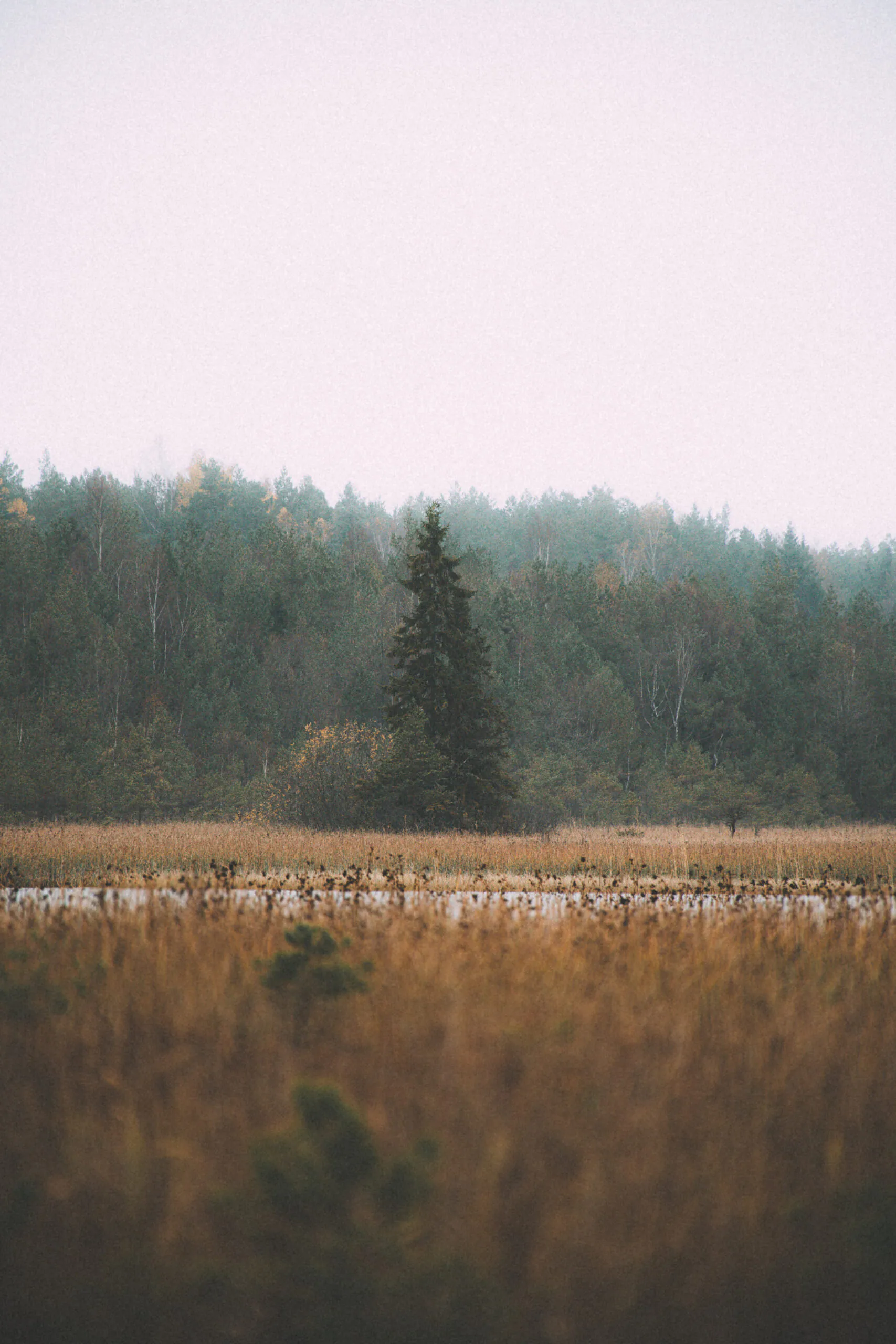
A 6-metre observation tower looks across the lake’s lime-rich eastern shore and the streams entering it. Height helps, but it does not automatically make the photograph. Under a blank sky, point the camera slightly downward and let reed beds occupy more of the frame. A 70–200mm lens can separate the crooked pines standing in wet ground from the distant wall of forest; fog reduces that background to a soft grey-green layer.
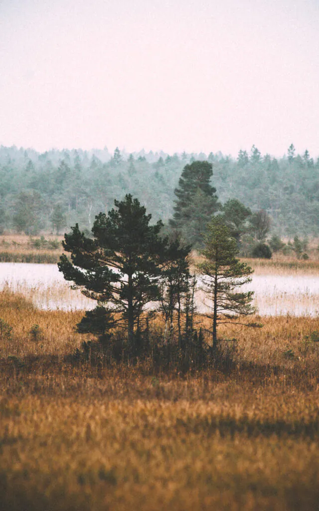
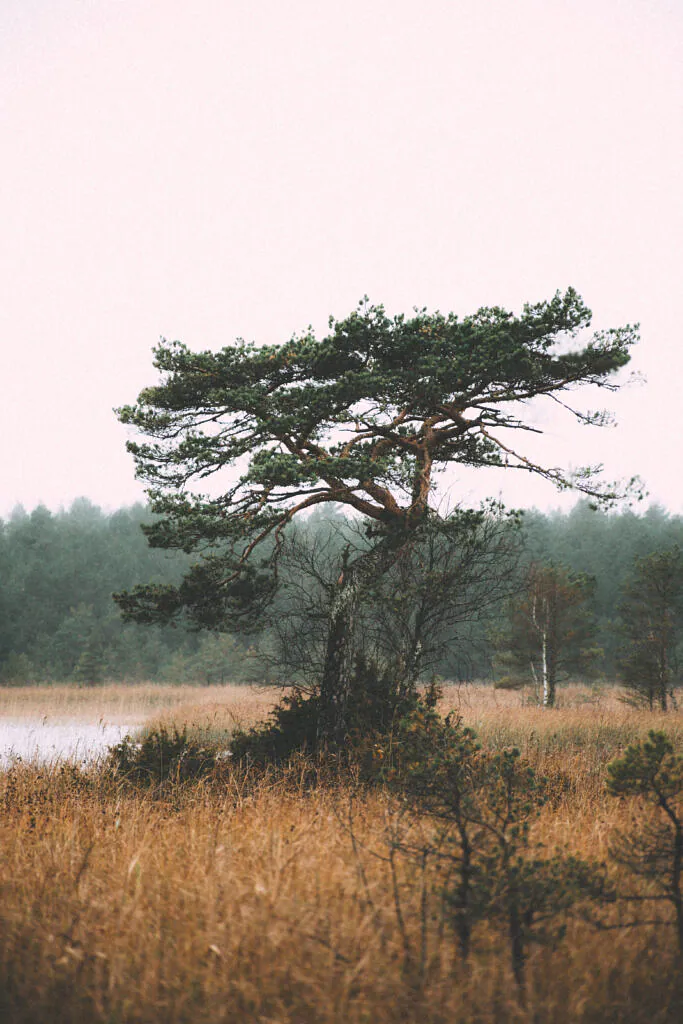
Those pines are shaped by open light, shallow wet soils and exposure, each crown carrying a different history. Avoid stepping from the route to simplify their silhouettes. A longer focal length does the same work without crushing moss or sedge. If this kind of restrained wetland composition appeals to you, the Estonian bog photography field guide develops the technique; Liivanõmme offers a shorter study in mist, water and woodland edges.
Walking the loop with a camera
Start at the signed RMK Järveotsa campfire site, Kloostri metskond 17, Siimika village, and follow the marked loop back to the same shore. RMK’s map gives about two hours as ordinary walking time; allow three to four with photographs. The trail crosses roots, soft forest floor and wet sections, so waterproof boots are more useful than a heavy tripod. Carry a 24–105mm zoom, lens cloth, rain cover, water and an offline copy of the route. Add the telephoto only if the tower and isolated pines are priorities.
Use the prepared campfire site for fire and camping, keep a dog on a lead, and remain on the marked path across sensitive ground. After prolonged rain, expect slippery timber and saturated approaches. Begin early enough to photograph Järveotsa before walking the loop, then save the pier for the return: by late afternoon its dark boards can hold the last reflection while the forest behind them closes for the night.
Curated Gallery
Explore high-resolution photographs from this trail: Valgejärve Gallery Collection →
Discussion
Thoughts on this story?
A quiet place for questions, experience and considered discussion.
Discussion guidelines
Stay relevant and constructive. No spam or harassment; links may be moderated.
Opening the discussion…