Liivanõmme Hiking Trail: Pines, Dunes and Coastal Light
59.0° N 22.4° E LIIVANÕMME HIKING TRAIL 2025 No. 13 / 17
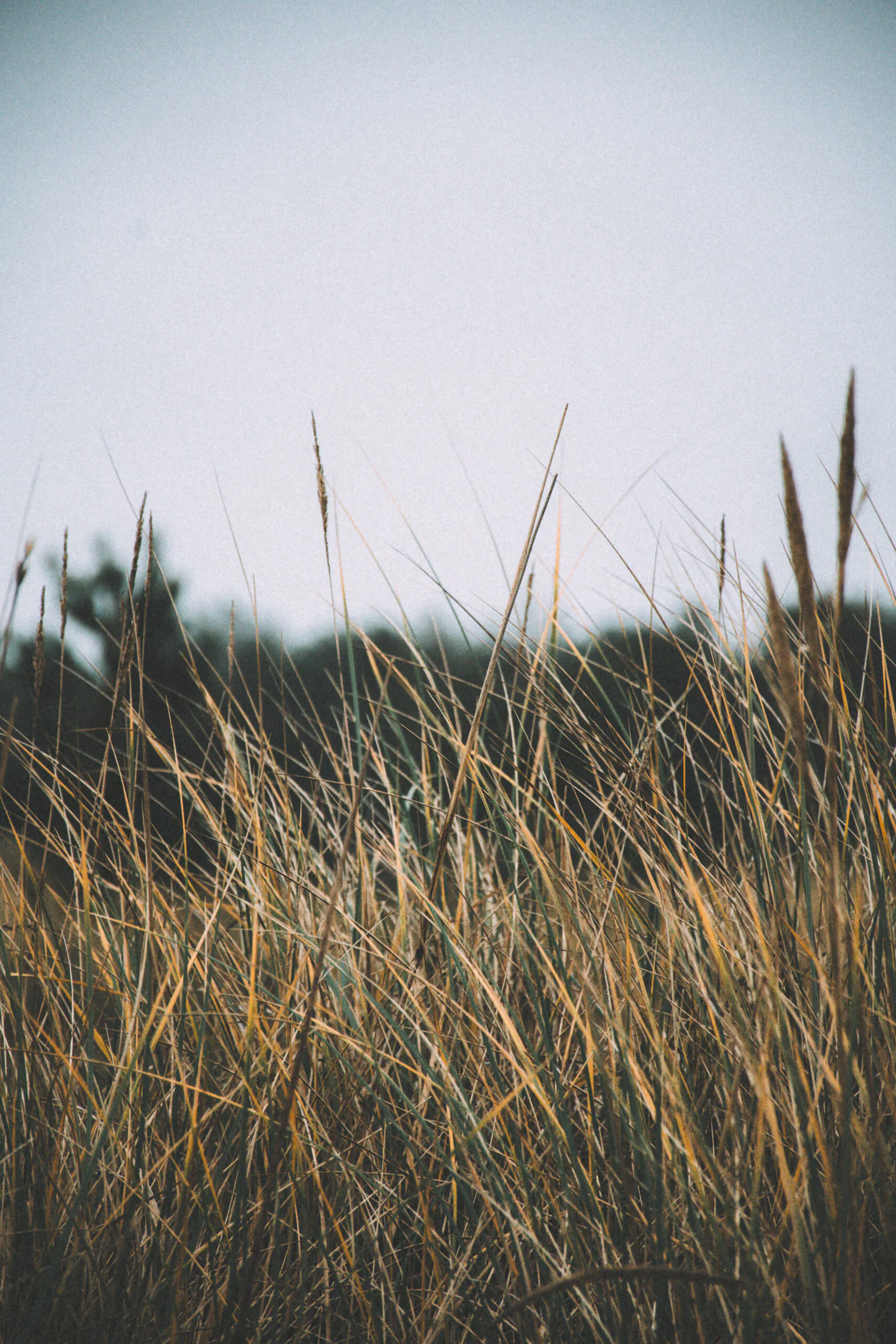
The first thing I heard at Liivanõmme was not the sea but water falling from pine needles. A cold autumn mist darkened the lichen, held down the resinous smell and packed the sand until each footstep made only a soft scrape. Beyond the first dune ridge, surf moved with a low, even weight. The trees kept it hidden.
Liivanõmme is a 7.4-kilometre circular nature trail in Lääne County’s Nõva recreation area. Dry pine forest, old beach ridges, dune hollows, small lakes and the exposed shore compress a changing coastline into one circuit.
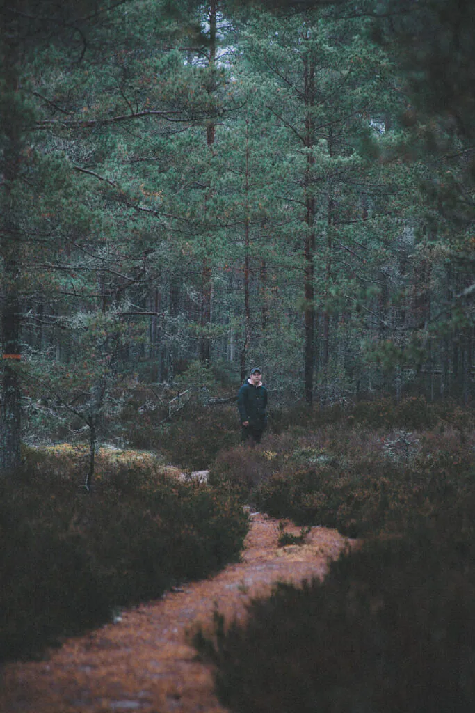
Pine trunks in flat autumn light
Inside the forest, the nearest pines held their rust-coloured bark, the next row faded to grey-green, and everything beyond became tone rather than detail. I framed with a short telephoto and waited for a walker in a blue jacket to pass between two lighter rows. He stopped at exactly the wrong moment, looked into the canopy, and accidentally made the composition better.
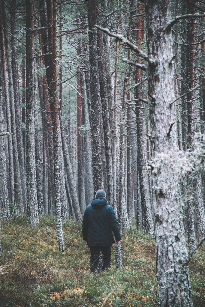
Heather, mosses and lichens occupy lean, acidic sand where Scots pine tolerates exposure and poor nutrients. Lower pockets hold more water, but most of the marked route runs under pine and is dry in ordinary conditions. For wetter peat, open pools and boardwalk geometry, see my Estonia bog photography field guide.
A coastline still recorded in the ground
Nõva’s relief is geologically young. After the ice sheet retreated, the land rose and waves and wind reworked exposed sand into shore ridges and dunes. Forest later fixed many forms in place. A modest rise beneath Liivanõmme’s pines may therefore be an older shoreline; dry ridges and damp hollows record the same process.
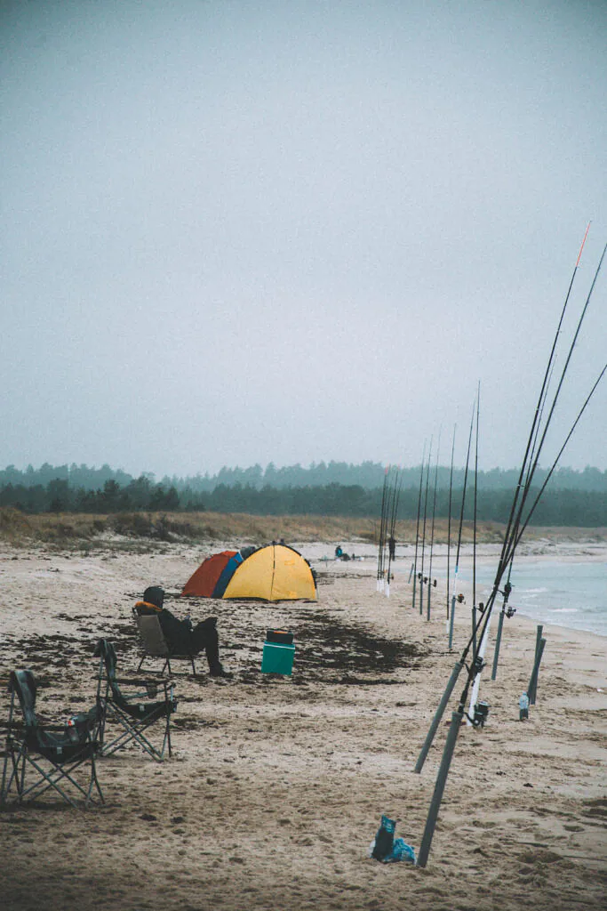
Near the water the scale changes abruptly. Marram grass and low shrubs take the wind, while the forest edge becomes a dark horizontal mass. On my visit, a line of fishing rods stood in the pale sand beside a small orange tent. It was the brightest colour for several hundred metres—more useful than any planned “nature” foreground.
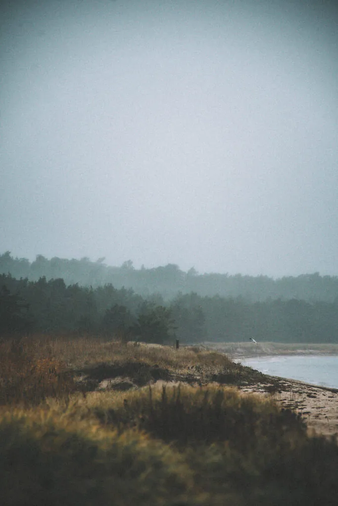
Peraküla beyond the beach
Coastal communities have used Nõva and Noarootsi for centuries; Swedish-speaking settlers are documented on Estonia’s western coast from at least the 13th century. In the early 20th century, a secret radio station was built on Peraküla’s Allikajärv peninsula and reached by a cobbled road through the forest. The station has gone, but the road remains; both are documented in Visit Haapsalu’s Coastal Swedish heritage overview.
The present trail is managed by RMK and has ten QR-marked points. It also lies inside the Peraküla management zone of Nõva Nature Reserve, where the protected values include coastal landforms, dune forest and old pines—the thick, weathered trees locally known as hongad. Staying on the marked route is therefore more than convenient navigation.
Photographing Liivanõmme without flattening it
Mist separates the pines, but automatic exposure often makes the scene bloodless. I start around two-thirds of a stop below the meter reading and protect the pale sky. A 50–100 mm focal length compresses repeating tree rows; at the beach, use a wider lens only with a deliberate foreground such as grass, a tide line or fishing gear. Keep a cloth in an outer pocket. Droplets reach the front element before they look obvious through the viewfinder.
If the coast is clear and hard-lit, turn back into the forest rather than forcing a seascape. The shelter produces softer contrast for several hours after sunrise. Liivanõmme also pairs naturally with the weathered structures of Astangu; both reward layered frames, although one is shaped by coastal geology and the other by Tallinn’s military-industrial edge.
Route, access and useful kit
Start at the Peraküla camping-area car park at 59.221639, 23.602945. Follow the orange marks around the 7.4 km circuit and allow three to four hours with a camera. RMK describes the route as mostly dry and maintained year-round, but wear waterproof boots after prolonged rain. Carry water, a windproof layer, a lens cloth, one wide-to-normal lens and a short telephoto. A tripod helps before sunrise but becomes cumbersome in beach wind.
Peraküla is easiest by car. Public transport leaves a walk: RMK lists Peraküla bus stop about 3.4 km from the trailhead, with more distant connections at Käbi, Laimi and Nõva. Before setting out, use the RMK Liivanõmme trail page for the current route, restrictions and transport notes. Begin early at the camping-area car park, photograph the forest while the light is low, and reach the shore only after the mist has had time to lift from the first dune ridge.
Curated Gallery
Explore high-resolution photographs from this trail: Liivanõmme Forest & Heath Gallery →
Discussion
Thoughts on this story?
A quiet place for questions, experience and considered discussion.
Discussion guidelines
Stay relevant and constructive. No spam or harassment; links may be moderated.
Opening the discussion…